News
Mapping Medieval Chester Festival, Chester, 29 August 2009
This event, organised in partnership with the Grosvenor Museum, Chester, celebrates the launch of the project website, and will include a wide variety of interesting and fun activities designed to bring the medieval city to life. We’re hoping to involve lots of local people, as well as visitors to the city. Come and join us and discover more about Chester in the medieval period! You can come along to a calligraphy workshop and learn to write Gothic script, meet medieval pilgrims at St John’s Church, take a medieval-focused tour of the cathedral, explore the medieval Water Tower, join a literary tour of the city with project researchers – and much more! Some activities require booking in advance. You can find further information about the day here.
Mapping the Medieval City book – forthcoming
We are pleased to announce that a volume attached to the Mapping Medieval Chester project is forthcoming with University of Wales Press. Mapping the Medieval City: Space, Place and Identity in Chester c.1200-1500, edited by Catherine A.M. Clarke, includes essays by members of the project team as well as other contributors such as C.P. Lewis, Jane Laughton, Liz Herbert McAvoy and Robert W. Barrett Jnr. The volume offers a range of different disciplinary perspectives on place and identity in medieval Chester, opening up wider theoretical questions relevant to the medieval city (and the medieval spatial imagination and constructions of identity) more widely. We hope to add a link to further details shortly.
Mapping the Medieval City Colloquium, Swansea University, 30-31 July 2009
On Thursday and Friday 30-31 July Swansea University hosted the colloquium ‘Mapping the Medieval City: space place and identity’, a very successful event which also included the launch of the ‘Mapping Medieval Chester’ project digital resources.
-
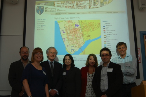
- The project team with Prof Noel Thompson, Pro-Vice Chancellor, Swansea University
The colloquium included a very wide range of contributions across many disciplines, including current work in the fields of literary studies, history, archaeology and GIS mapping. Delegates at the conference came from universities as far afield as Illinois, Athens (Georgia, U.S.), Copenhagen and Jyväskylä (Finland), from organisations in the heritage sector such as CADW, the Royal Commission on the Ancient and Historical Monuments of Wales and the Church of England Cathedrals and Church Buildings Division, and from institutions within Chester. The diverse research specialisms and expertise of our colloquium delegates resulted in many lively and illuminating discussions about place and identity in the medieval city.
-
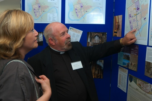
- Two participants – Sue Hughes of the Grosvenor Museum, Chester, and Rev David Chesters of St John’s Church, Chester – discuss our displays
The event also featured the launch of the ‘Mapping Medieval Chester’ digital resources (www.medievalchester.ac.uk), and a roundtable discussion on medieval studies and new media, as well as projects in the digital humanities and knowledge transfer more widely. We have already received very positive feedback on the online resources produced by the ‘Mapping Medieval Chester’ project, and look forward to receiving further comments (as well as any corrections or suggestions) via email or the project Blog.
-
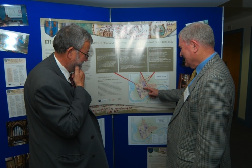
- Two delegates, John Law and Ralph Griffiths, discuss the project poster
Thanks to everyone who presented a paper at the colloquium, as well as all delegates who attended. Special thanks also to the ‘Mapping Medieval Chester’ project team for all the hard work involved in preparing the website.